Have you ever wanted to see the world from a god-like perspective? Prepare yourself for the bright colours of the world's extreme weather events as captured from the Earth’s space cameras.
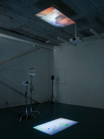
Weather Mayhem projects the movements of the weather patterns in Aotearoa that have caused devastating long-term effects and permanent damage to the land. It aims to raise awareness of the pervasive global issue of climate change and to address its implications.
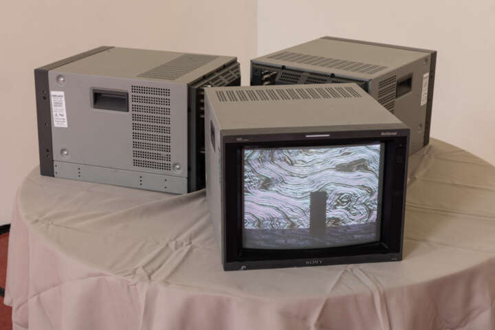
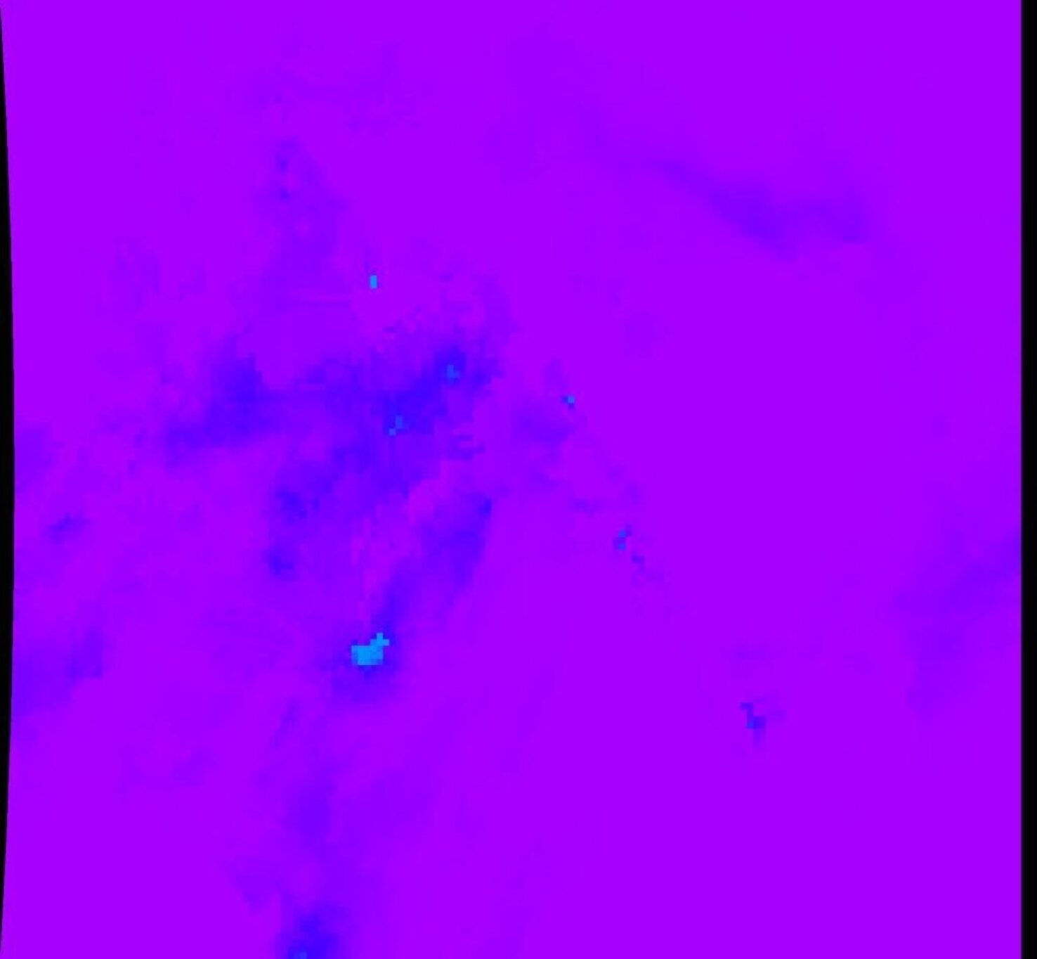
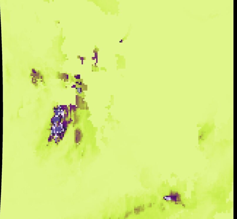
The imagery projected on the floor is sourced from the database, Google Earth Engine, which contains many images highlighting temperature, weather, and population.
Through the projection we can visually experience the movements within our
weather system, and consequently create a connection between us and the world,
helping us make solutions that avoid these weather events.
Rebekah McMillan has presented these animated maps digitally to highlight the
advanced technology we have developed today. Using her practices from her
science degree, she has coded these maps so that the movements of colour are
synchronised with the true movements of the weather above.
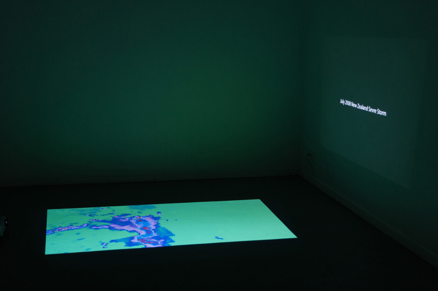
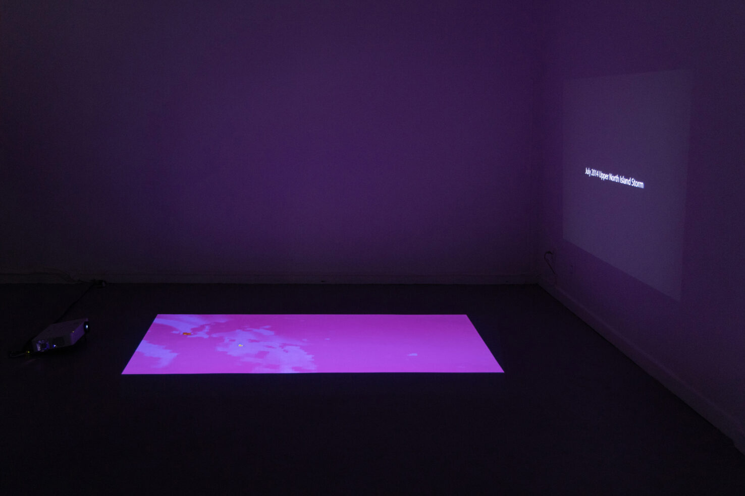
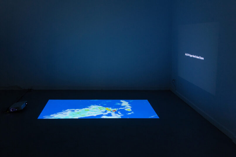
The artwork contains two videos:
On the wall: Titles of historic weather events considered “extreme” by NIWA, over
Aotearoa.
On the floor: A moving image that shows Satellite imagery of the “extreme weather
events”, following the titles on the wall.